


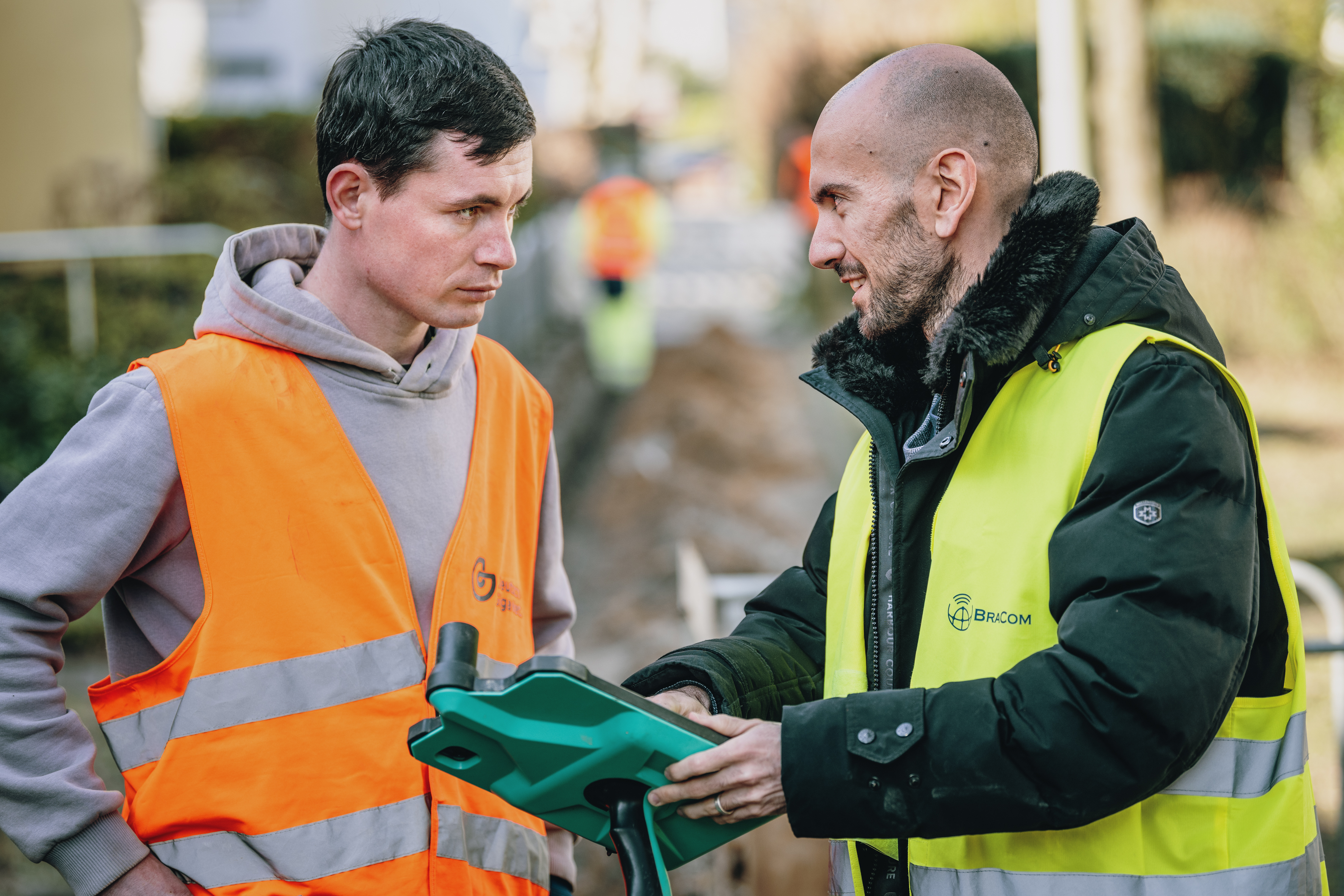
‘We were really impressed when we first started using DeepUp,’ says project manager Fredrik Haugen Petersen. ‘Documentation is a formal and important process, but when it’s done with real-time 3D scanning, it actually becomes quite fun!’ Haugen Petersen demonstrates how the user can select a geographical area where infrastructure is under construction, zoom in on a route, and navigate along a trench that is several hundred metres long.
Visually, the tool resembles the graphics in computer games. In practice, its use relates to something far more dry: namely, legally required documentation in the German infrastructure market. Such knowledge transfer between the German and Norwegian fibre network markets makes the work more exciting for BraCom employees.
CTO Sinthur Ponnuthurai explains: «The handheld devices build on LiDAR technology, Light Detection and Ranging, where millions of data points are collected to form extremely accurate image files and 3D models. For us in the infrastructure industry, this means we can create precise models of routes before, during and after the laying of fibre networks. We can identify any local deficiencies before work begins, we can document that we meet the specification requirements, and we can share images of the surface restoration,” says Ponnuthurai.
There are several suppliers of this technology. For the network operator OXG, BraCom uses Geodata. For Deutsche GigaNetz, the company uses DeepUp. ‘Both solutions provide real-time reporting to us as the main contractor and to the infrastructure owner,’ says Ponnuthurai.
Colleague Haugen Petersen shares a practical example: «There can be a blow-stop, meaning that the compressed air does not transport the fibre-optic cables frictionlessly as far as expected. With 3D scanning of the trench, we can locate the physical obstruction in seconds.»
DeepUp is based in Bonn and is one of the companies simplifying the massive fibre network roll-out in Germany. The team behind it has developed georeferencing technology that documents new infrastructure as it is being laid. LiDAR scanning of the trenches is synchronised with satellite data and proprietary technology to provide a reliable overview of, for example, newly laid fibre pipes in the urban landscape. Whilst simplifying the work, BraCom can also report on completed work to major clients such as Deutsche Telekom more quickly and with more reliable documentation.
“It becomes easier for both infrastructure owners and developers to quality-assure the work carried out against specifications and terms,” says Ponnuthurai.

Using high-tech scanners, the planning engineers ensure this documentation is available even after the trench has been closed and during site inspections, not just whilst the trench is open. Raw data from the field is systematised, interpreted, compressed, and is quickly available for sharing as high-resolution images with colleagues far away.
“When we first started using 3D scanning in Germany in 2024, we got used to far better documentation practices,” says Haugen Petersen. “We realised we could impose stricter requirements on ourselves and on subcontractors in Norway. We don’t have the same satellite-linked technology, but we know it’s possible to combine efficient project progress with high-frequency photography and archiving. We’re performing far better in Norway now, thanks to best practice in Germany.”DeepUp’s handheld devices are easy to use, but the software inside is constantly evolving. With artificial intelligence, object recognition and classification are becoming ever faster, and rapid data visualisation will increasingly facilitate decision-making for planning engineers in the field. The knowledge transfer between Norway and Germany will continue at the same pace, according to BraCom staff.


